Drone Surveys
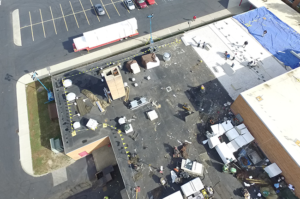
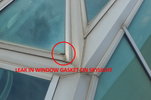
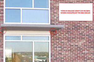
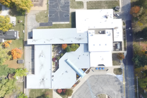
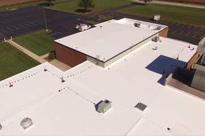
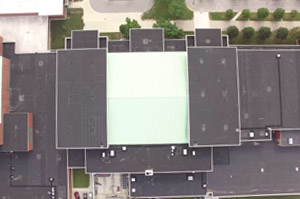
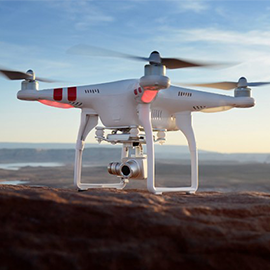
Moisture Management has a licensed FAA UAS (Unmanned Aerial Vehicle) pilot on-staff to conduct drone flights for investigative, surveying, or measurement purposes. Our drone has a 4K camera to capture high-definition video and still images, allowing us to inspect hard-to-access areas quickly and safely. In addition, using 3D modeling software, we can create a 360 degree model of a building, which we can use to take accurate measurements, plot rooftop equipment, and record elevation changes.
The drone division helps save our customers money as well, especially when there is a need to inspect a building component that is high off the ground, in an inaccessible area, or in an area that foot traffic is not advised. For example, on a multi-story building, using the drone can eliminate the need to rent an expensive man-lift. Another example would be the surveying of glass skylights or slate roofing that can be damaged during the inspection by the weight of foot traffic.
Ready to learn how Moisture Management can help you?
